GIS and Drones: the Perfect Match
Geographic Information Systems simplify data analysis for industries everywhere. Combined with drones, it becomes even more powerful.
If there’s one thing we have plenty of, it’s data.
It seems nearly everything around us, from our phones to thermostats, collects information on us (whether we want it to or not!) For the most part, it makes our lives easier, serving as a means to track & aid our daily activities.
Data collection also occurs outside the home in the areas we visit and work.
When I left the Marine Corps in 2011, the data collection process I was familiar with was largely a manual one. And, it was common to see reports, analyses, and statistics still typed out, printed, and placed in folders that would rarely see the light of day again.
Shortly after leaving, I worked as a manager for Amazon at one of their fulfillment centers. There, the methods of data collection were much different.
An army of cameras, sensors, and other machinery tracked everything from the speed of conveyor belts to how much tape an associate used on average for packing customer orders. This mountain of data could be instantly called up from my laptop whenever I needed it.
But, as impressive as it was, there was more data available than there was time to review it.
You see, the problem with collecting so much data is that it often doesn’t get used or is too difficult to digest.
To help with this, one of the best tools to make sense of these extensive data collections are Geographic Information Systems (GIS).
GIS turns raw data into visual representations like charts, graphs, and maps. Through GIS, enormous data sets can be represented by a single image or chart.
And now, drones are becoming a preferred tool for GIS professionals.
Drones Provide Improved Image Quality
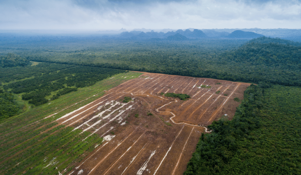
There’s a strong correlation between the value of a given GIS product and the quality of the data used to make it. While just about any data set can be used for creating GIS products – even historical maps – for most applications, current and accurate data is preferred.
When using drones, GIS mapping products are typically the desired outcome.
That’s largely because drones have proven themselves to be among the most accurate mapping tools available. In nearly every case, the images produced by drones are of better quality than other assets, such as satellites.
When mapping an area, UAVs can collect detailed information in the form of images with geospatial information attached. With the right equipment, drones can produce accuracy on par with survey-level measurements taken manually on the ground.
This highly accurate information is easy to process with GIS software such as ArcGIS Drone2Map. With software like this, 2D and 3D models can be created, with overlays showing anything from population demographics to the historical trends of flood waters in an area. Thanks to the level of accuracy in UAV collected data, GIS mapping products are now widely used in numerous industries.
Click image for more information on how.
Drones Provide Faster Turnaround for GIS
Tools like GIS can quickly transform raw data into usable products.
Given the data processing speed of most GIS platforms, the most time-consuming phase of the geomatic workflow process is typically data collection.
After all, time is money, and the faster data can be collected, the better.
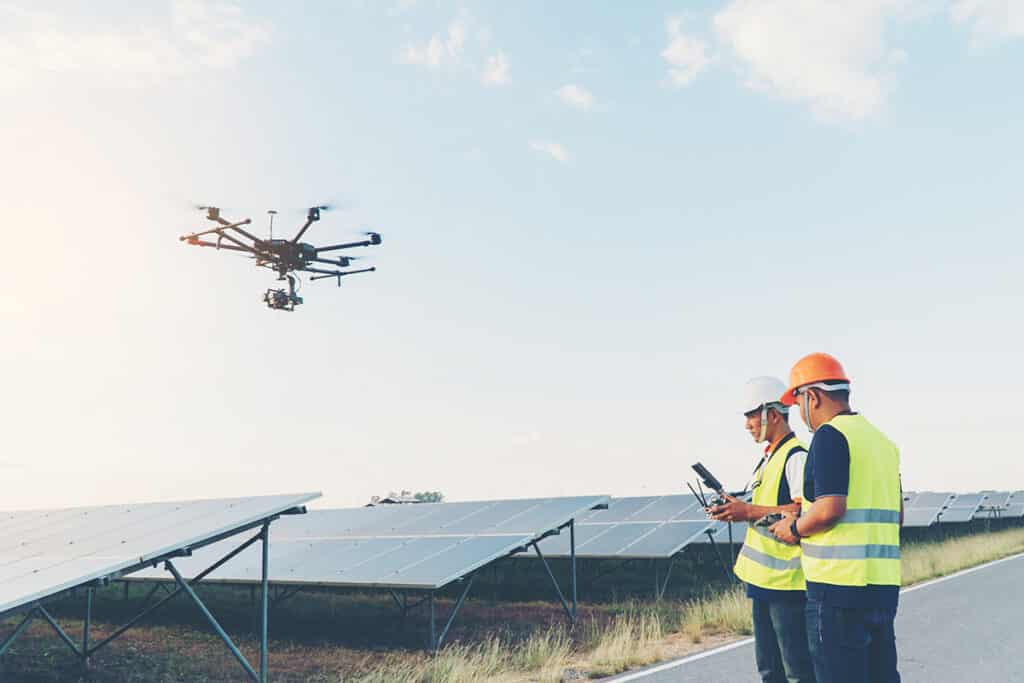
Unlike manual survey techniques or requesting satellite imagery, drones can collect images of an area in a matter of hours, or even minutes. Many commercial UAVs on the market can cover large areas in a single flight.
For example, DJI’s new Mavic 3 Multispectral drone can collect accurate data over almost 500 acres on a single battery.
Once a UAV mission is flown, images can be transferred digitally or simply by sharing an SD card. This form of data transfer significantly decreases the time it would take a manual survey team to map an area, process the information, and share it with clients.
Drones provide the data GIS professionals need without causing delays associated with traditional methods.
Drones Provide Greater Accessibility to GIS
Professionals across numerous sectors have already embraced GIS.
The military, government agencies, and the private sector increasingly use these incredible systems.
Everyone can use GIS, and that is where drones can help. That’s because one of the other great benefits of UAV technology is the ease of access most companies have to drones.
Small commercial drones can cost a little as one or two thousand dollars, and are readily available. Additionally, many GIS software platforms have reasonable pricing plans.
With both drones and GIS priced at levels that don’t limit the technology to only those with deep pockets, drone-based GIS products are quickly becoming democratized.
Bringing It Together
Although GIS and drones have both been around for some time, the pairing of these tools has only started to take flight in the last decade.
Greater adoption of both technologies is on the horizon, and the benefits will be shared by everyone involved.
In fact, many aerial mapping courses are starting to include GIS as a topic in the course material.
With the speed & data demands of today’s business, there’s never been a better time to benefit from the combined advantages of GIS and drones.
So, are you ready to take advantage of drones for your organization? If so, how do you get started? Do you hire out or bring your drone program in-house?
At Consortiq, we help you find a better way with drones, from consultation and program implementation to actually doing the work for you.
Ready to learn more? Just complete the form below to schedule a risk-free consultation!

David Daly - Contributing Author
David Daly, is an award-winning photographer/writer and licensed (FAA) Commercial sUAS pilot. A graduate of the United States Naval Academy, David is a former Marine Corps officer with a BS in Oceanography and has earned his MBA from the University of Redlands. David has worked for Fortune 100 companies and has a background in aerospace, construction, military/defense, real estate, and technology.
Ready to Utilize Drones For Your Organization?
Contact Us Today to Get Started!