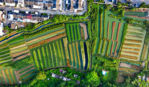
Which Drone Mapping Software Should You Use? Pix4D or DroneDeploy?
Drone mapping software can create maps as accurate as traditional survey methods. But which one should you choose? I was in high school the first
Drone mapping software can create maps as accurate as traditional survey methods. But which one should you choose? I was in high school the first
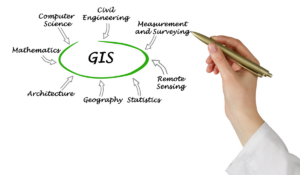
Geographic Information Systems simplify data analysis for industries everywhere. Combined with drones, it becomes even more powerful. If there’s one thing we have plenty of,
Drones are quickly finding their way into many services within the industrial sector. While there is sometimes hesitation to implement new technology, early adopters are
There already exists an impressive list of use cases for drones across a diverse set of industries. Some UAV applications are seeing positive but limited

Using drones within the oil & gas sector isn’t always about inspection and surveying. The number of applications are limitless, especially within an industry that
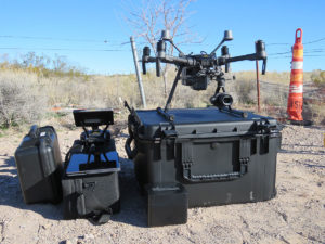
Choosing between a Drones-as-a-Service (DaaS) provider and starting your own program Many organizations benefit from utilizing UAV technology. In fact, drones have established themselves as
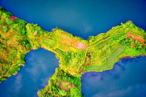
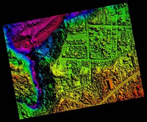
Mapping terrain is critical for many industries. Data and discoveries gained from mapping enhance preventative measures and provide details to ensure the feasibility of a