If you want to take advantage of the benefits of Drones, quickly, and without dealing with complicated regulations.
Let our remote pilots take the pictures, capture the video, and obtain the data for you.
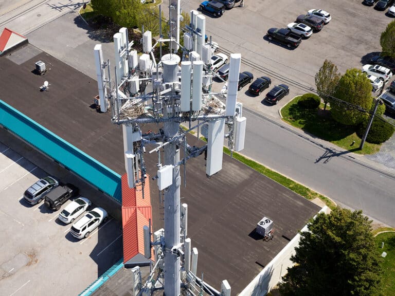
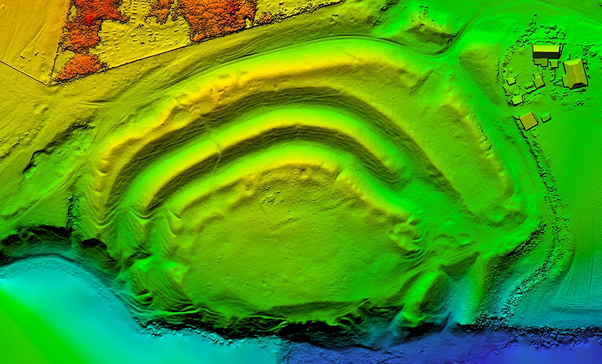
Infrastructure Inspections
Are you frustrated with unplanned maintenance and site shutdowns impacting your operation?
Proactively determine the condition of aging infrastructure by using drones to access difficult-to-reach locations, and gather the data you need both safely and efficiently.
Or, use periodic scans to help assess the rate at which it’s deteriorating.
Types of Inspection: Petrochemical Structures, Bridge, Building, Dam, Distribution Network, Telecom, Pipeline, Right-of-Way, Solar Farm, Tower, Transmission & Distribution Lines, Wind Farm, and more.
Data: 3D Point Cloud, LiDAR, Mapping, Raw Images & Video, Thermal
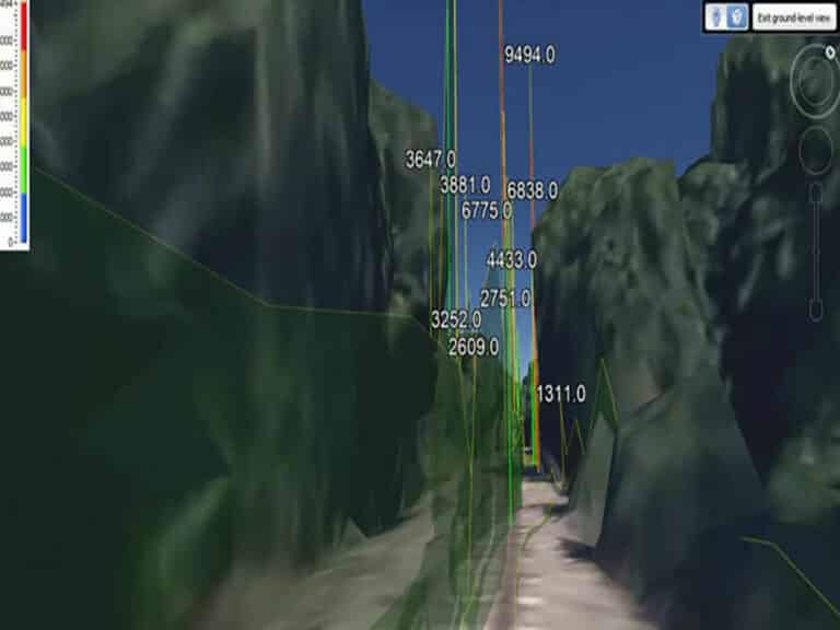
Are you worried about fugitive methane emissions, but know how impractical it is to walk every mile of pipeline?
Find precise methane leak locations in real-time, whether it’s along a pipeline, processing location, storage facility, or in a waste management facility.
Data: Amount of Methane Leaking (PPM), Leak Location
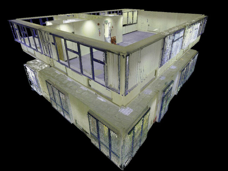
Do you want to get away from paper for your building or site management? Do you want an always up to date digital model?
Be confident in the safety of both your buildings and your tenants, while simplifying your workload.
Where traditional scans take weeks on site just to capture all of the necessary data, Consortiq’s non-invasive building scans take as little as a few hours, with full-scale digital twins completed in less than two weeks.
Let us transform your physical building into 3D, digital model you can navigate with nearly any device.
Quick, Highly Accurate Results, Provide:
A User-Friendly & Easy-to-Navigate Interface
Better, More Reliable Maintenance Records
A Less Invasive, Cost-Effective Solution
Are you in the United Kingdom? If so, digital asset management is a requirement. Read more about it here.