
Drone Mapping in The Case of Ordnance Survey
Mapping terrain is critical for many industries. Data and discoveries gained from mapping enhance preventative measures and provide details to ensure the feasibility of a

Mapping terrain is critical for many industries. Data and discoveries gained from mapping enhance preventative measures and provide details to ensure the feasibility of a
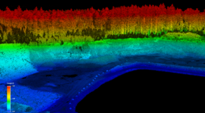
When it comes to UAV payloads, thermal and Red Green Blue (RGB) cameras get a great deal of attention. With low price points, the technology
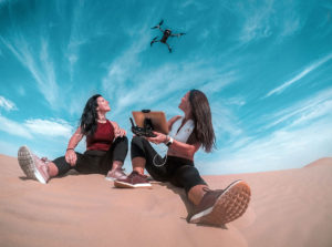
At the start of the new millennium, academic research identified a potential problem for students in the United States. Compared to their counterparts around the
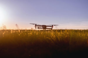
As you may have heard, huge swarms of desert locusts are devouring crops across western and central India in what has been seen as the
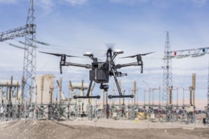
The oil and gas industry is one of the largest branches of the global economy. About the Oil and Gas Industry According to IBISWorld, annual
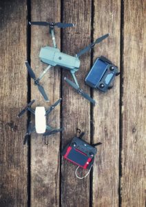
It is easy to see how Unmanned Aerial Vehicles (UAVs), or drones, can be seen as a modern invention. If we could travel back in

Why drone technology represents an achievable competitive edge for your company – and is no longer just for blue-sky thinkers. Let’s be clear about one
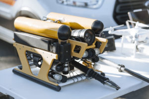
Lessons Learned – Part 4 A series of insights brought to you by the Consortiq team Can remotely operated vehicles (ROV) improve unmanned aircraft systems

Airport House,
Purley Way,
Croydon,
Surrey
CR0 0XZ
169 Madison Avenue, Suite 11988
New York, NY 10016-5101
© Copyright 2012-2025 | All rights reserved | Privacy Policy