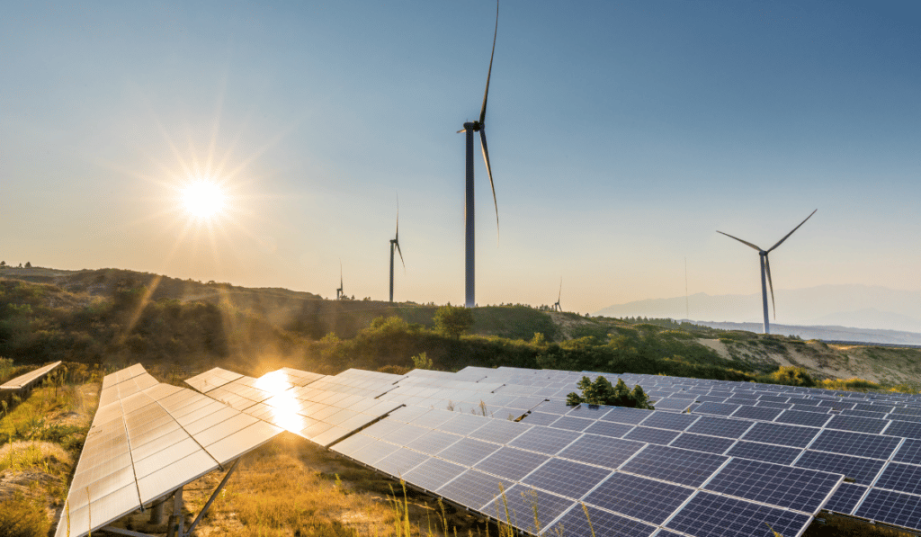
Better Environmental Monitoring Through Drones
Through the use of drones, environmental monitoring has become faster & easier than ever before.
Recently, I visited the Salton Sea in California, the largest body of water in the state. Unfortunately, it’s now teetering on the brink of ecological disaster, in desperate need of environmental monitoring and recovery.
Once the playground of stars like Frank Sinatra, Bing Crosby, and the Beach Boys, the Salton Sea is now a rapidly shrinking body of water.
The sea was created by a disaster in 1905, when floodwaters from the Colorado River breached an irrigation canal. It took 18 months to seal the breach. Ultimately, what was once farmland became a massive lake, stretching 58 kilometers long and 42 kilometers wide.
Today, however, as water has been diverted from the lake to coastal cities like Los Angeles and San Diego, the Salton Sea is rapidly evaporating. As the waters recede, the silty sands left behind can cause massive dust clouds, creating significant health problems.
Additionally, critical habitat loss now affects hundreds of species of plants & animals.
It’s a tragic situation, and one with no easy solution. Visiting this area brought to mind the many ways drones can better offer environmental monitoring around not just the Salton Sea, but numerous other areas worldwide.
Let’s take a look at what they can offer.
Air Quality Monitoring
Traditional air quality monitoring stations consist of stationary units.
While these can provide measurements for their exact location, they can potentially miss air pollution events outside their immediate space. And, even though data is intended to represent large areas, such as the air quality for a city, it’s typically only based on only a few monitoring stations.
Drones, especially those acting as a swarm, offer the potential to change that.
Imagine numerous drones flying around a city collecting data on air quality. Instead of the general readings stationary units provide, drones provide real-time assessments of air quality over a large region.
In pursuit of better environmental monitoring methods, a team of MIT alumni started testing drones for this exact purpose a few years ago, with promising results. Their drones look for a type of air pollution known as PM 2.5, which can cause lung and heart disease.
Their system may one day help communities around the world avoid inhaling toxic substances, thus improving the health of entire populations.
Water Quality Monitoring
Covering the majority of the planet, water remains Earth’s most most abundant natural resource. In one way or another, water affects every ecosystem on the planet. Healthy ecosystems with clean water support many plants and animals, including people.
In some cases, the water used for high population centers like cities, originates in rural areas, difficult to access on foot or by most vehicles.
Nonetheless, to ensure the environment remains safe, understanding water quality remains essential.
That leaves a difficult challenge: How do you conduct environmental monitoring in areas you can’t reach?
The solution: drones.
Drones can reach even the most challenging locations easily, and provide real-time data on water quality.
When equipped with suitable sensors, UAVs can measure pH, water temperature, electric conductivity, and dissolved oxygen. Some drones can even deploy underwater sensors, capable of detecting microorganisms to help monitor algae blooms and other harmful events.
Environmental Monitoring of Soil
The soil hydrological process is an essential aspect of the environment.
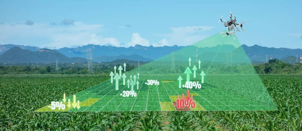
Soil monitoring can aid in water resource forecasting, crop management, land stability, and climate change. Additionally, it is a significant component of precision agriculture.
For many years, drones have seen greater adoption in this type of environmental monitoring.
When equipped with a multi-spectral camera, drones provide you with a wealth of soil information on any given region. UAVs can collect data on moisture, nitrate levels, contamination, temperature, solar radiation, humidity, and more.
It all adds up to a clear understanding of soil, even in difficult-to-reach locations.
Environmental Monitoring of Biodiversity
Observing and collecting data on species diversity and abundance in a given area is known as biodiversity monitoring.
Generally, healthy ecosystems include a diverse population of species. With proper diversity, regions better maintain stability, maintain productivity, and resist outside forces more effectively.
And, this includes areas populated by people.
Again, UAVs provide excellent platforms for environmental monitoring of biodiversity.
Drones can keep track of wildlife populations, conduct plant counts, scan for diseases in plants, and assist with forest management. Use cases already include everything from studying animal populations to protecting endangered species.
Key Takeaways
The physical limitations of traditional environmental monitoring methods, like walking on foot or driving, are time-consuming, and represent only a fraction of the total picture.
With drones’ abilities to cover large, inaccessible areas quickly and easily, they’re playing a bigger role in environmental monitoring than ever before.
Their ability to monitor conditions in difficult-to-reach regions, while carrying a wide array of sensors, offers tremendous advantages over manual methods. And, through better understanding of our environment, we’ll remain better poised to address future problems.
As you can see, drones provide the perfect platform for any number of environmental monitoring use cases, and provide a unique solution to today’s tough challenges.
—
So, are you ready to take advantage of drones for your organization? If so, how do you get started? Do you hire out or bring your drone program in-house?
At Consortiq, we help you find a better way through drones, from consultation and program implementation to actually performing the work for you.
Specializing in large-scale operations and drone program development, we can help you develop your own in-house program, or fly your sites to gather the data you need.
Ready to learn more? Just complete the form below to schedule a risk-free consultation!
David Daly - Contributing Author
David Daly, is an award-winning photographer/writer and licensed (FAA) Commercial sUAS pilot. A graduate of the United States Naval Academy, David is a former Marine Corps officer with a BS in Oceanography and has earned his MBA from the University of Redlands. David has worked for Fortune 100 companies and has a background in aerospace, construction, military/defense, real estate, and technology.
Ready to Utilize Drones For Your Organization?
Contact Us Today to Get Started!